rareoldprints.com
Search
If you know the reference number
enter it here:
If you enter more than one word
it will be treated as
phrase
.
Insert
"and"
or
"or"
between words to search for
the words in any order
.
Refine your search
here or
build another search.
Displaying
0
to
10
of
250
-
Next
-
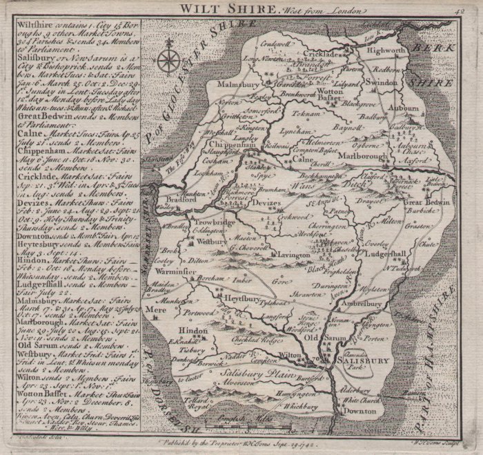
Wilt Shire. West from London
Ref:
P/8040
Region:
Wiltshire
Type: Copper
Cartographer:
Badeslade T
Engraver:
Toms W H
Publisher:
W H Toms
Date:
1742
Not for sale
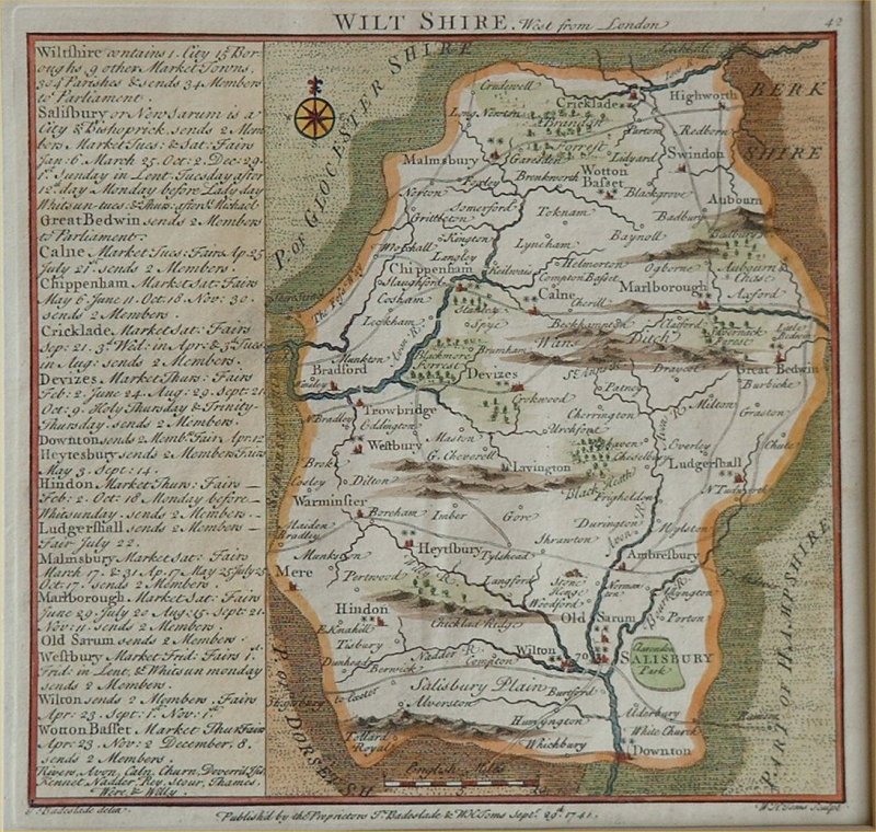
Wilt Shire. West from London
Ref:
P/8041
Region:
Wiltshire
Type: Copper
Cartographer:
Badeslade T
Engraver:
Toms W H
Publisher:
T Badeslade & W H Toms
Date:
1741
Not for sale
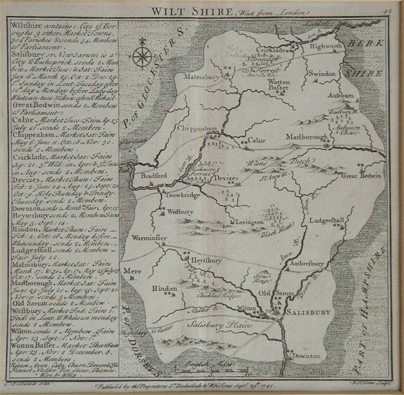
Wilt Shire. West from London
Ref:
P/8037
Region:
Wiltshire
Type: Copper
Cartographer:
Badeslade T
Engraver:
Toms W H
Publisher:
T Badeslade & W H Toms
Date:
1741
Not for sale
The West Indian Atlas; or a Description of the West Indies: Taken by Actual Surveys and Observations by Thomas Jefferys, Geographer to the King.
Ref:
P/28210
Region:
West Indies
Type: Copper
Engraver:
Jeffereys T
Publisher:
Robert Sayer, Chart Map and Printseller, No. 53 in Fleet Street
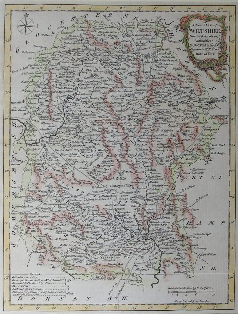
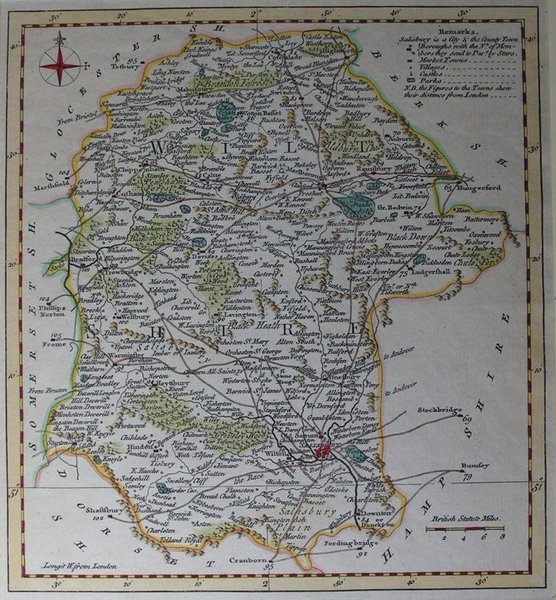
A New Map of Wiltshire Drawn from the Best Authorities
Ref:
P/8165
Region:
Wiltshire
Type: Copper
Date:
1764
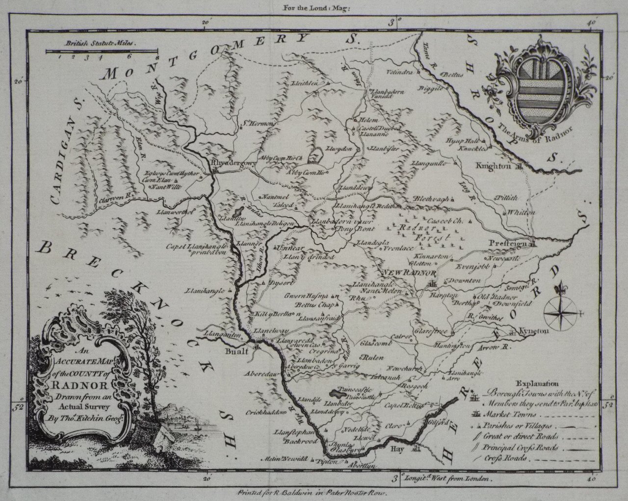
An Accurate Map of the County of Radnor Drawn from an Actual Survey
Ref:
P/12794
Region:
Radnorshire
Type: Copper
Cartographer:
Kitchin T
Publisher:
R Baldwin in Paternoster Row
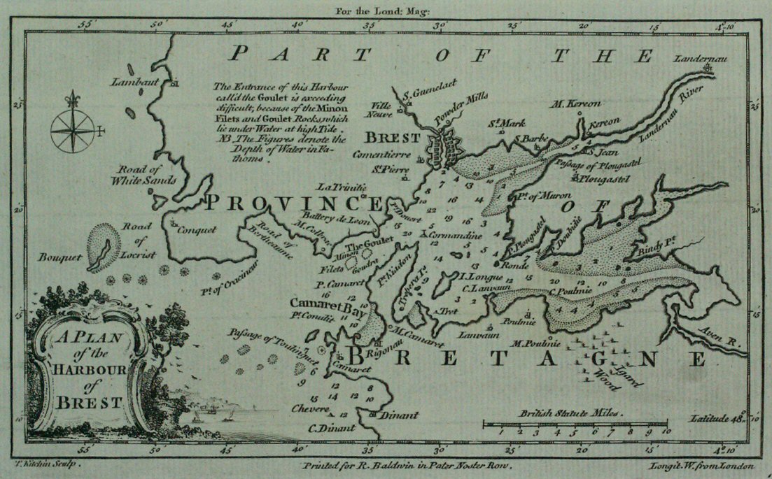
A Plan of the Harbour of Brest
Ref:
P/11368
Region:
Brest
Type: Copper
Cartographer:
Kitchin T
Engraver:
Kitchin T
Publisher:
R Baldwin
Date:
1760
Wilt Shire
Ref:
P/8045
Region:
Wiltshire
Type: Copper
Cartographer:
Kitchin T
Publisher:
Kitchin & Gapper
Date:
1769
Not for sale
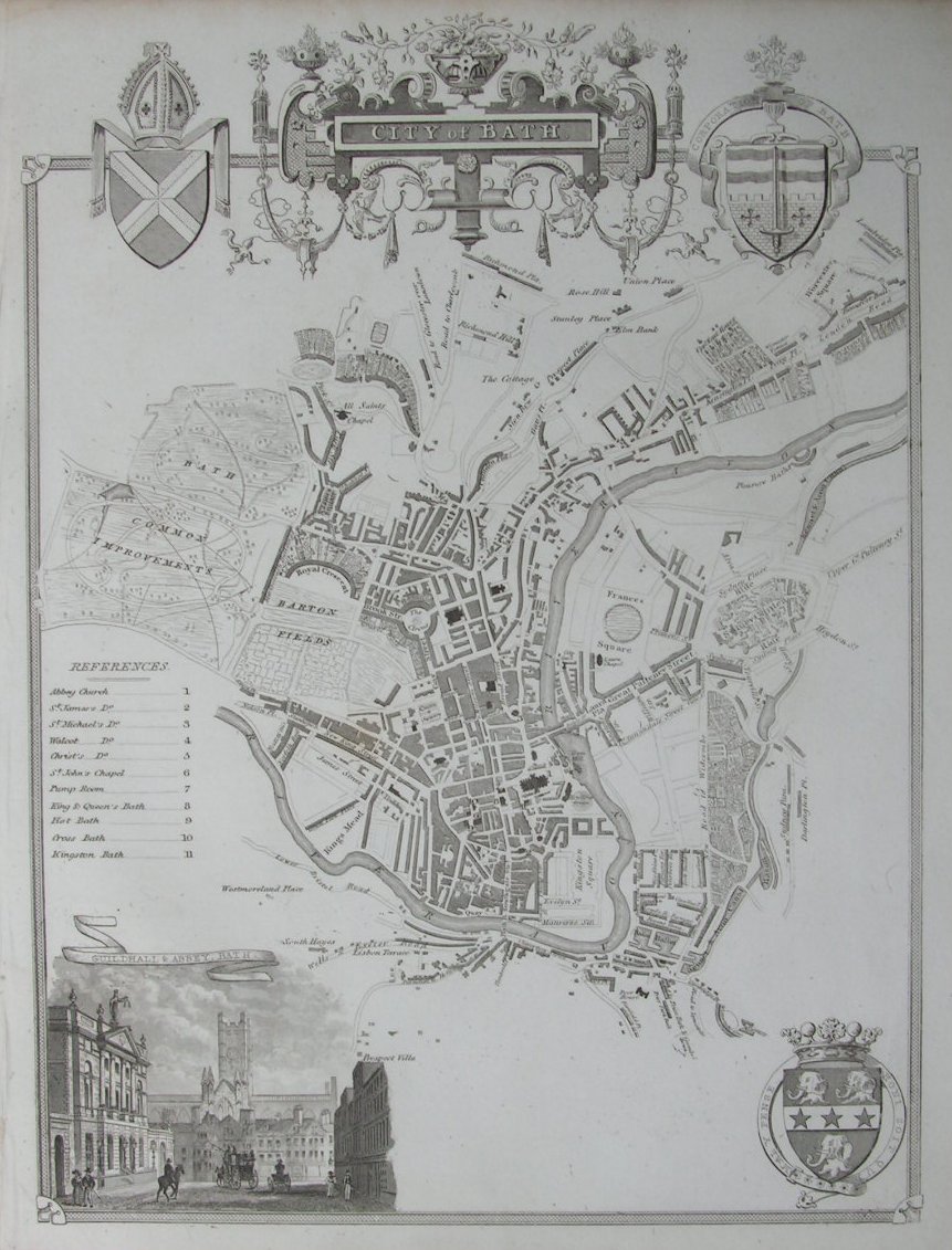
City of Bath
Ref:
P/2728
Region:
Bath
Type: Steel
Publisher:
T.Moule
Date:
1837
Not for sale
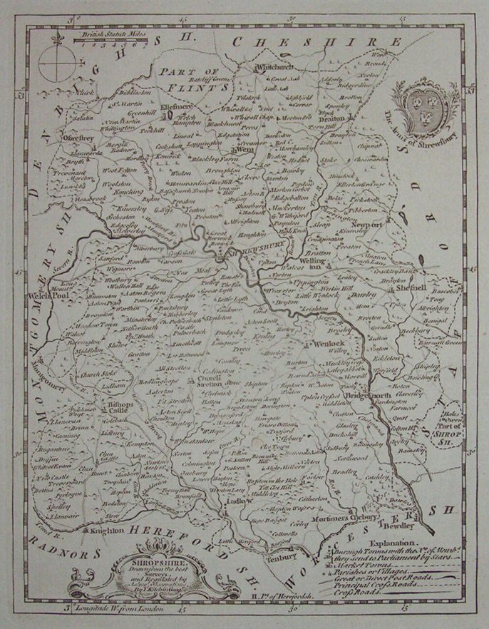
Shropshire
Ref:
P/6796
Region:
Shropshire
Type: Copper
Cartographer:
Kitchin T
Displaying
0
to
10
of
250
Next